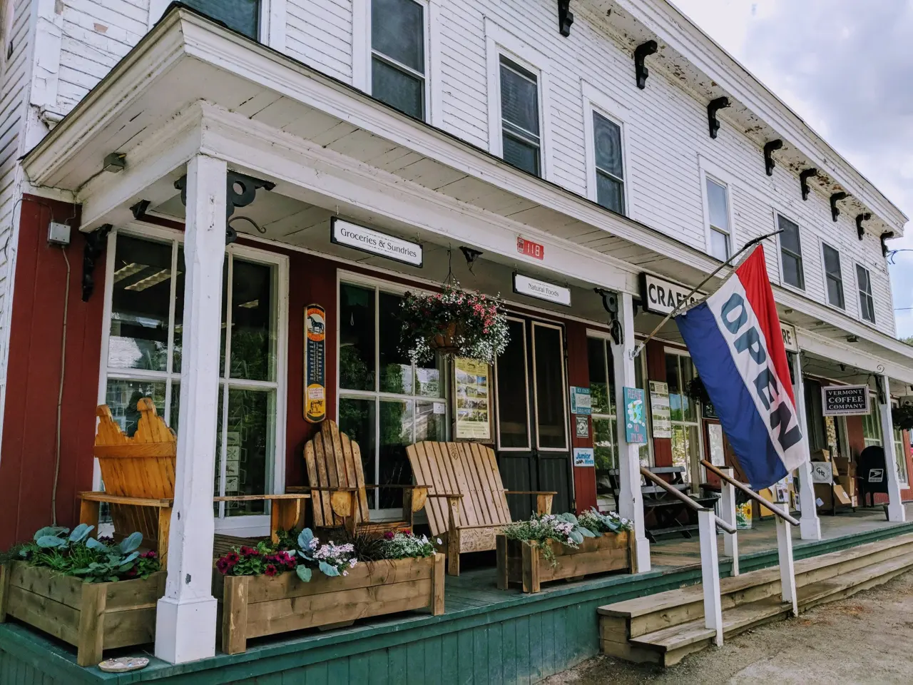
Readsboro General Store
6828 Main St, ReadsboroThe deli's stacked Dagwood-style sandwiches have a genuine following — the kind people drive out of their way for, twenty miles into the trip.
Segment 1 · Mile ~7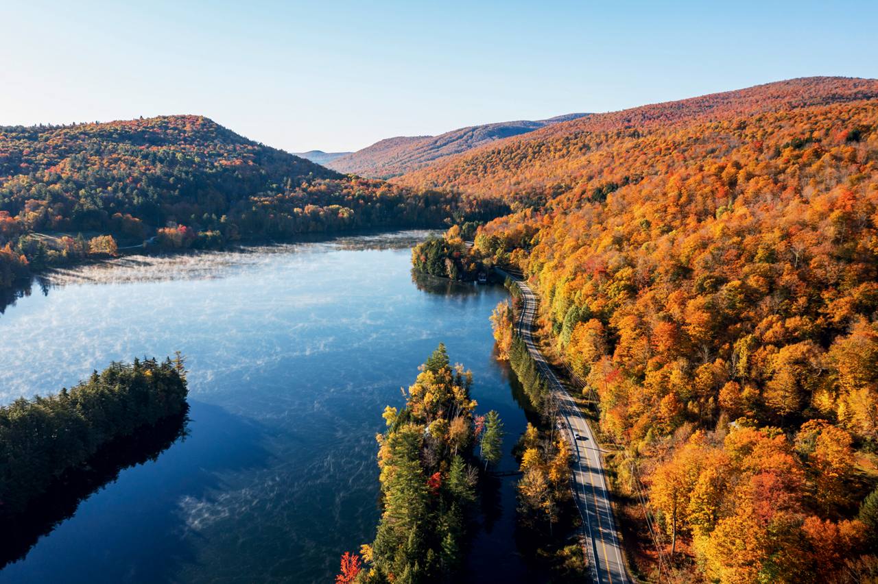
A Green Mountain Guide download
Vermont's Most Beautiful Road.
All 216 miles of Vermont Route 100 — from the Massachusetts line to Newport, a few miles shy of Canada — in one $5 downloadable guide. 126 stops, every one with a verified street address.
For driversHikersWalkersCyclists
Vermont has always gone its own way. In 1777 it declared itself an independent republic and adopted the first constitution in America to prohibit adult slavery. On March 4, 1791, it joined the Union as the 14th state — on its own terms, as it does most things.
In 1935, Vermont voters approved a Blue Ridge–style "Green Mountain Parkway" along the ridgeline. Then they thought better of it, and repealed it in 1937. That same year, lawmakers directed something quieter instead: a scenic route "extending through the central portion of the State from Massachusetts to the Canadian border." That became Route 100.
It was built slowly, the Vermont way. The wild stretch through Granville Gulf wasn't paved until 1965. Along the way it threaded past Mount Snow, Okemo, Killington, Sugarbush, Mad River Glen, Stowe, and Jay Peak — and drivers took to calling it the Skier's Highway.
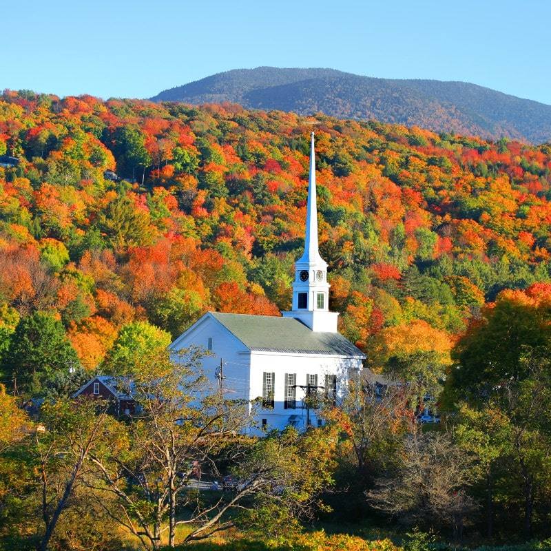
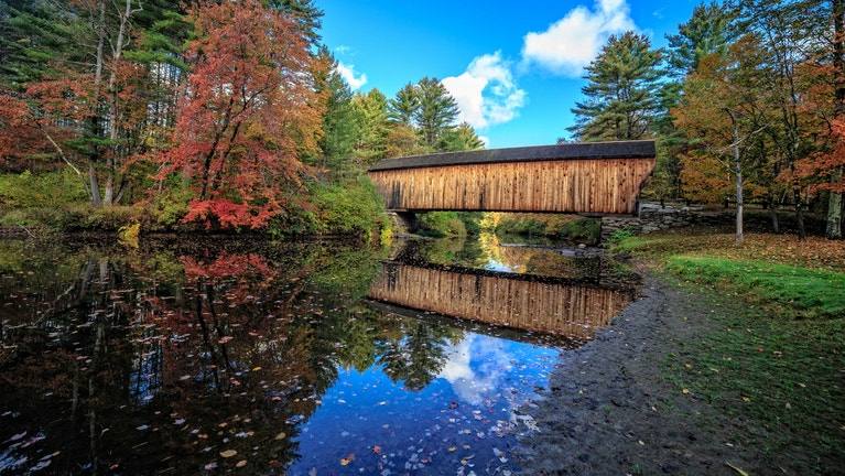
Today it runs beside eight rivers and the Long Trail, down the main streets of more than 30 villages, past white churches, general stores, and covered bridges. There are no billboards anywhere. Vermont banned them in 1968.
The state's own Scenic Route 100 Byway covers 146 of these miles. This guide covers all 216 — because the road doesn't stop being Vermont where the byway ends.
"It is not a road that goes past Vermont. It is the road Vermont lives on."
Every stop gets a real description and a verified street address — the kind you can type into a map before you lose signal. Here's the flavor of it:
A labeled hike in every segment — waterfalls, fire towers, and ridge walks, each with honest distance and effort notes.
A labeled fishing stop in every segment — roadside trout water you can reach from the car, named river by river.
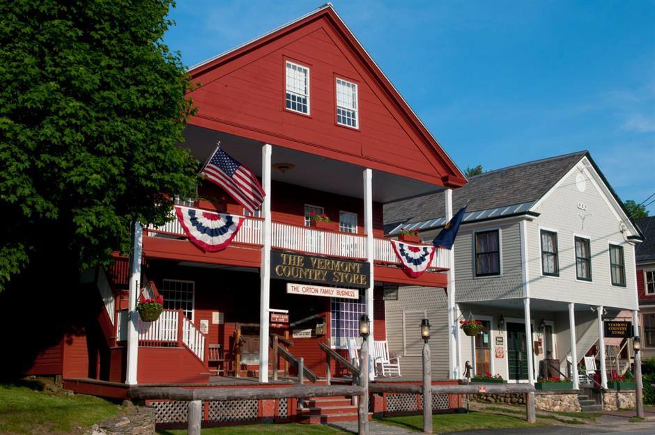
Sample stops from the guide, printed the way every stop is printed — name, real street address, and why it's worth your time.
The deli's stacked Dagwood-style sandwiches have a genuine following — the kind people drive out of their way for, twenty miles into the trip.
Segment 1 · Mile ~7Wood-fired pizza served from a vintage VW bus counter, with retired chairlift seats to eat in. The maple bacon pizza is the order.
Segment 4 · LudlowA destination general store in an 1839 stagecoach inn. Serious deli sandwiches — take lunch out on the deck over the river.
Segment 7 · Mad River Valley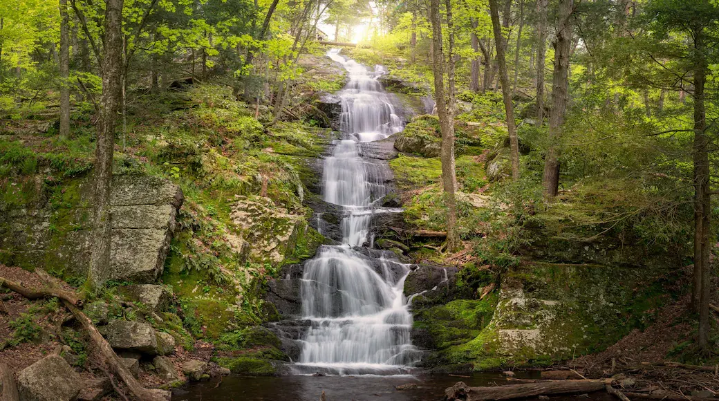
A waterfall and beloved swimming hole. An easy trail of about a mile walks you past the upper, middle, and lower falls.
Segment 4 · Okemo Country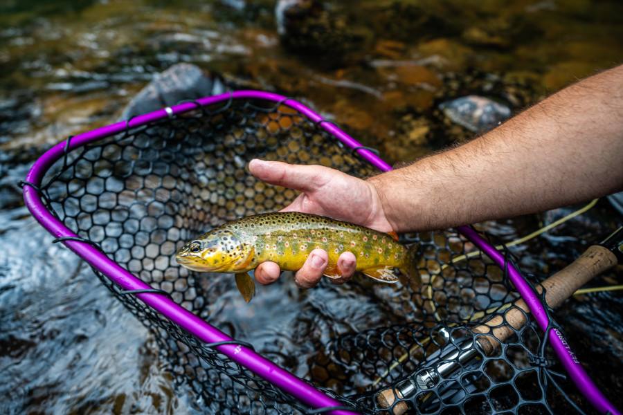
Roadside trout fishing the length of the valley — brook, brown, and rainbow trout in water that runs right beside the road.
Segment 7 · Mad River ValleyPart hardware store, part general store, part legend — three floors of it, at the very end of the road. "If we don't have it, you don't need it."
Segment 10 · Mile ~216Hike it, walk it, ride it — carefully. Route 100 isn't only a drive. The same guide that maps the road for drivers is built around the trails, village streets, and resupply stops that hikers, walkers, and cyclists actually need.
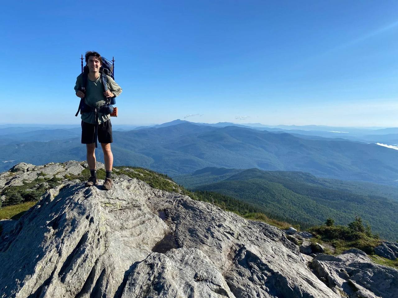
Every one of the 10 segments carries a labeled HIKE stop — 16 hikes in all — and every trailhead comes with its street address in the guide, so you can find the start of the trail, not just the name of the mountain.
And running behind it all: the Long Trail — the oldest long-distance hiking trail in America — parallels Route 100 for most of its length and crosses the road again and again. The guide marks where.
Route 100 runs down the main street of more than 30 villages — most with sidewalks, a general store, and a church green. Between villages, the guide points you to established paths off the road:
Village to village, the walking is on sidewalks and trails — see the safety note below before you consider the shoulder.
What makes Route 100 rideable at all is its rhythm: villages every few miles, with food, water, and beds. The guide's 126 addressed stops double as your resupply, rest, and overnight planning points, segment by segment — so you can plan realistic days between serviced villages and trailheads instead of guessing where the next store is.
To be plain about what this is: a planning companion, not turn-by-turn cycling directions. It tells you where everything is. Choosing which stretches to ride — and which to skip — is yours, and the note below matters.
Route 100 is a working state highway, not a bike path. It carries real traffic, including trucks, farm vehicles, and RVs, and shoulders are narrow or absent on many stretches — some of the most beautiful segments, like the Granville Gulf and the notch country, are the tightest. Cyclists: ride single file, use front and rear lights and high-visibility gear, plan for daylight hours, and be selective — some segments are better driven between trailheads and villages than ridden end to end. Walkers and hikers: stick to sidewalks in villages and established trails, rail trails, and recreation paths off the road rather than walking the highway shoulder. Conditions change with the seasons — mud season, heavy foliage traffic, winter snow, ice, and early dark. This guide helps you plan around all of that: where the trails, villages, food, water, and beds actually are. It does not make the road something it isn't.
The guide is organized into ten segments, so you can drive one well — or string them together into the full run.
Readsboro and the Deerfield River — the quiet southern door into Vermont.
PARK & UNLOAD:Haystack Mountain Trail trailhead — 184 Upper Dam Rd, Wilmington, VT 05363. Limited roadside parking at the trailhead; arrive early on weekends.
A classic ski-town main street, then the climb into Mount Snow country.
PARK & UNLOAD:Mount Snow base area — 39 Mount Snow Road, West Dover, VT 05356. The resort's large public base-area lots.
Wardsboro, Jamaica, and the West River — covered bridges and general stores.
PARK & UNLOAD:Jamaica State Park — 48 Salmon Hole Lane, Jamaica, VT 05343. State park parking at the West River Trail trailhead — unload and ride the rail trail; day-use fee in season.
Weston and Okemo Country — the Vermont Country Store, Buttermilk Falls, and a ski town with real pizza.
PARK & UNLOAD:Okemo Mountain Resort base area — 77 Okemo Ridge Road, Ludlow, VT 05149. Large public base-area lots in ski country.
Plymouth Notch, Calvin Coolidge's hometown, and the Big Mountain.
PARK & UNLOAD:Gifford Woods State Park — 34 Gifford Woods Rd, Killington, VT 05751. State park parking where the Appalachian Trail passes through, Kent Pond just across the road; day-use fee in season.
Pittsfield and the White River — the road settles back into farm valley.
PARK & UNLOAD:Green Mountain Trails trailhead — 1199 Tweed River Dr, Pittsfield, VT 05662. Trailhead parking for the signed trail network above the Tweed River.
The Granville Gulf and the Mad River Valley — the wildest, most beautiful stretch of the whole road.
PARK & UNLOAD:Texas Falls Observation Site parking — Texas Falls Road (Forest Road 39), off Route 125, Hancock, VT 05748. Green Mountain National Forest parking about a half-mile in, picnic area just beyond.
Moretown and the Crossroads — where the valley opens toward the interstate and the reservoirs.
PARK & UNLOAD:Waterbury Center State Park — 177 Reservoir Road, Waterbury Center, VT 05677. Day-use park parking at the Waterbury Reservoir boat ramp; day-use fee in season.
Stowe and the Lamoille Valley — the white steeple, the ski mountain, and cider country.
PARK & UNLOAD:Stowe Recreation Path, southern trailhead — 137 Main St, Stowe, VT 05672. Park in the village at the start of the 5.3-mile paved Recreation Path, behind the Stowe Community Church.
Hyde Park, Eden, Lowell, Troy, and the Border — the Northeast Kingdom, all the way to Lake Memphremagog.
PARK & UNLOAD:Prouty Beach — 386 Veterans Ave, Newport, VT 05855. Public beach and campground parking at the start of the bike path that runs to the Canadian border.
A note on parking: these lots are a starting point, not a guarantee. State park lots charge a day-use fee in season, and some lots fill early or are spoken for on ski and event days; overnight parking rules vary by lot, so check with the park or resort before you count on leaving a car there. Unload the bikes at the lot, then ride the way the safety note above asks: in daylight, single file, with lights and high-visibility gear.
"You can drive it in about five hours without stopping. Don't."
Plan it in three to five days. The guide breaks the road into segments sized for exactly that — a day or two at a time, with the night's town at the end of each one.
Route 100 runs through some of the least-connected country in New England. The guide is built for that — and honest about it.
Cell service drops out in the Granville Gulf, across much of the Northeast Kingdom, and in pockets of the Mad River Valley. Download the guide before you leave and every page, address, and note works in the valleys, the gaps, and the dead zones — no signal required.
Morrisville to Newport is about 37 miles — the longest stretch without easy fuel on the whole road. The guide marks the Eden General Store, at about mile 193, as the reliable anchor. Fill up with knowledge, not just gas.
Foliage: late September to mid-October, peak rolling south to north. Winter: real snow tires — this is ski country, and the gaps earn it. Mud season: mid-March to early May, when side roads soften and some stops keep shorter hours.
There is no Route 100 book. The paid alternatives are audio tours that cover the middle of the road and stop. Here's the side-by-side:
| This guide$5 · one time | Partial audio tours$17–$31 | Free blog itineraryFree | |
|---|---|---|---|
| Miles covered | All 216.7 — Massachusetts to Newport | About 160 middle miles | Scattered highlights |
| Stops | 126 | Narration points along the drive | About 23 |
| Street address for every stop | Yes — verified | No | Some |
| Hikes & fishing in every segment | Yes — labeled | No fishing | No |
| Works with no cell service | Yes — download once | Needs the app & GPS | Needs a connection |
| Yours to keep | Forever — PDF, print it too | Tied to the app | Until the page changes |
Pay by card through secure checkout. No account to create, no subscription to cancel later — there isn't one.
Your download links appear on screen and land in your email — both directions included: Massachusetts to Canada and Canada to Massachusetts, two PDFs for the one price. Save them to your phone before you leave home.
The whole guide lives on your phone — and you can print it at home if you're a paper-in-the-passenger-seat person. It's yours forever.
Two downloadable PDFs — "Route 100: Massachusetts to Canada" and "Route 100: Canada to Massachusetts" — covering all 216.7 miles in 10 segments, with 126 stops. Both directions are included for the one price. Every stop has a verified street address and a real description. Sixteen hikes and fourteen fishing spots are labeled throughout. Buy it once; it's yours forever.
Yes. It's a file, not an app or a website. Download it before you leave and it works in the Granville Gulf, the Northeast Kingdom, and everywhere else Route 100 loses signal — which is part of the point of the road.
About five hours without stopping — don't. The guide is built around three to five days, in segments, so you can stop for the sandwiches, the falls, and the trout water it's pointing at.
Foliage peaks late September to mid-October. Summer is swimming-hole and creemee season. Winter is the Skier's Highway in full — bring real snow tires. Mud season, mid-March to early May, is the one stretch we'd steer you around for side roads.
People do ride it in sections, and some ride the whole road — but be clear-eyed about it: Route 100 is a busy state highway with narrow or absent shoulders in many places. The guide helps you choose which segments to ride, time your daylight, and line up villages for food, water, and beds along the way. It is not a turn-by-turn cycling route, and the safety note in the "Not just by car" section above applies in full.
Yes — it's a PDF, made to live on your phone and to print cleanly at home if you prefer paper in the car.
Scenic 100 is a Green Mountain Guide download, made by Allen & Daniela Clark — Vermonters who live a few miles off Route 100 and drove every mile of it for this guide.
126 stops, every address, the hikes and the fishing — from the Massachusetts line to a few miles shy of Canada. Download it tonight, drive it this weekend.
Get the guide $5